Sure, Lake Martin is very well known for its fun on the water. So much so that Martha Stewart even named it as one the 15 Most Beautiful Lakes to Visit in the United States. However, off the water, another playground awaits. One that will take you through well groomed trails, introducing you to the delightful sounds of birds chirping in the trees and the sight of unique foliage and fauna. It is an adventure that will challenge you, and reward you with some of the most amazing views of the lake that many don’t even know exist. I’m talking about the CRATA trails, and these offer some of the best hiking in the state of Alabama.
These trails are extremely well maintained and will make even the newest of hikers feel comfortable. However, they also offer challenges that will excite even the most daredevil of outdoor enthusiasts. There are plenty of options depending on the type of hike you want to have, and I will give you a few of my tips for enjoying the trails to the fullest.
Who is the Cherokee Ridge Alpine Trail Association?
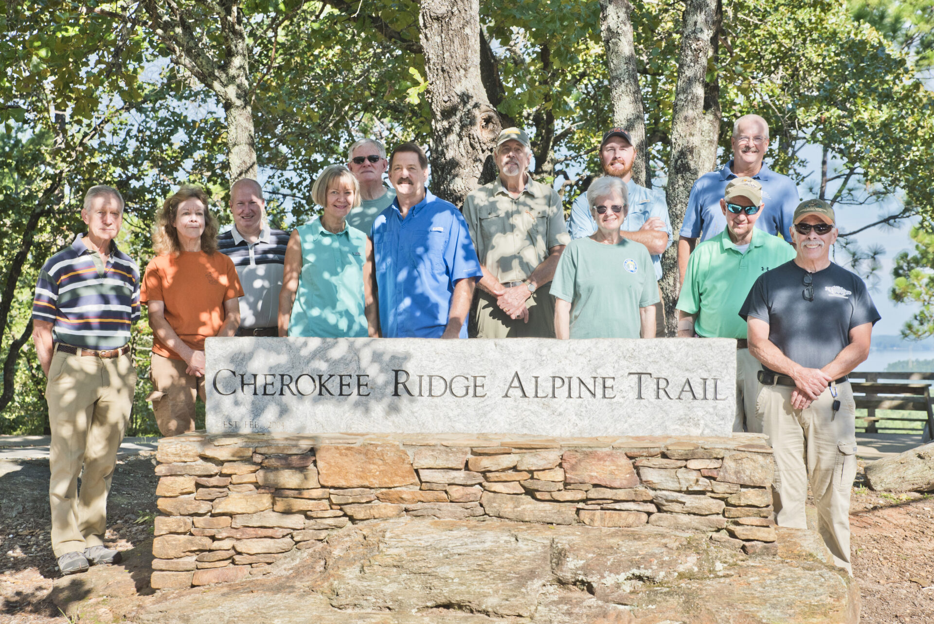
One of the coolest things about the Cherokee Ridge Alpine Trail Association trails is that they are 100% maintained by volunteers. This comes as a shock to many because these trails have the reputation of being some of the most well maintained trails in the state. However, the behind the scenes secret is that there is nobody on payroll to maintain these trails. Volunteers take time out of their lives every single week to keep these trails in top condition to maintain the street cred that they have in the hiking community. It is the blood, sweat, and tears of volunteers who are hikers themselves. I think that is actually part of what makes these trails so special. They were created from scratch by hikers, for hikers. That in itself is what I think has led to some of the creative twists and turns that you encounter along the way. When building these trails, every single breathtaking view and every fun climb, twist, and turn was carefully thought out to create the best possible experience.
The inspiration for the Cherokee Ridge Alpine Trail Association (or CRATA as we call them around here) came from a few individuals back in 2004. Their hiking experience on the Colorado trails made them ask the question, “Why can’t we have quality hiking trails around Lake Martin?” That one question, along with the passion and dedication of founder, Jimmy Lanier, set them on the course to create an offical 501(c)(3) non-profit organization that same year. Since their beginning, they have stayed true to their mission of promoting and preserving nature education in the greater Tallapoosa River Valley through access to footpath only trails.
To this day, the organization remains a volunteer organization. Each of the trails has a “Trail Master” that oversees the trail and schedules regular work days to keep them maintained. The organization is led by a Board of Directors that brings a wide array of disciplines to the organization.
Now that you know a little about the history and background of the organization itself……. let me tell you about some of the awesome trails they have created.
The CRATA Trails
In total, there are over 26 miles of trails that CRATA maintains in our area. Each one is unique, but all are worthy of a visit. As a bonus, all of them are also a part of the Lake Martin Hiking Challenge and the Piedmont Plateau Birding Trail. Check out the scoop on each of the trails below.
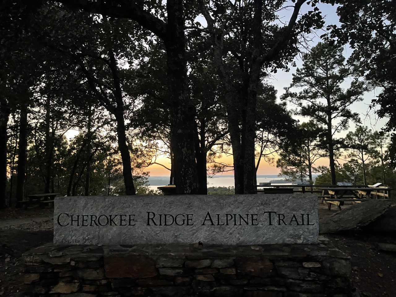
The Cherokee Ridge Alpine Trail at Overlook Park

Location: 2234 Overlook Drive Dadeville, AL 36853
What Makes This Trail Special: This was actually the first trail that CRATA created back in 2004. I love that this one has so many options as well. There are technically 3 trails there-The Cherokee Ridge Alpine Trail, Chimney Rock Loop Trail, and Kowaliga Loop Trail. All 3 trails intersect, and there are a variety of hiking combinations. You can hike 1 mile to 7 miles, and you have several different routes that you can take. At the trailhead, there is a very pretty park that is provided by Alabama Power. You will find several picnic tables there to enjoy a nice pre-hike lunch, and there is a beautiful overlook that looks out over Lake Martin. Educational signage is located there and tells you some of the interesting history of the area. While I do thoroughly love the hiking here, and love how it twists and turns through beautiful native Azaleas and Mountain Laurel, I also really enjoy the overlook itself. This is one of my favorite spots to see a sunset at Lake Martin. Even if you don’t partake in the hike itself, just coming up to check out the overlook and sunset is a treat in itself.
Smith Mountain Fire Tower Trails
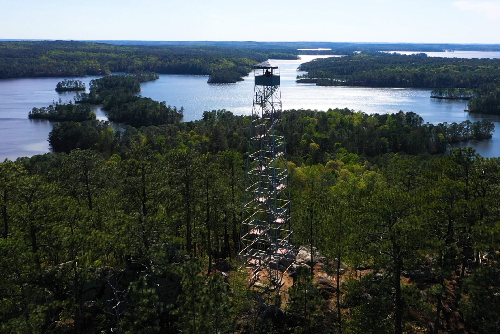
Location: The trailhead is located just outside of Dadeville, on Young’s Ferry Road. If you put in Smith Mountain Fire Tower, Jacksons Gap into Waze, it will take you there.
What Makes This Trail Special: There’s a couple of really unique things that make these trails extra special. First and foremost, the fire tower itself. It is the highest point around Lake Martin, and gives you one of the most unbelievable views of Lake Martin. This once operational fire tower was restored by CRATA, and is now there in the middle of the beautiful woods for all to enjoy. Yes, you can climb the tower, and when you do, you will be able to see miles upon miles of natural beauty. The hike from the parking lot to the fire tower will take you along the Walker Bynum Smith Mountain Tower Trail. It is only a one mile round trip hike to the tower and back, but it does seem farther just because it is steep and has some rugged terrain. It is 100% worth the journey though. Once you get to the base of the tower, you will be greeted with educational displays that tell about the history of the area. You can then make your ascent up the tower and check out more educational signage on the tower as you climb. As you are climbing, make sure to keep an eye out for the unique Devil’s Backbone rock formation. You can climb around on it at the base of the tower, but the view of it looking down from the tower gives you a really interesting vantage point to check out this unique geological formation.
Aside from the trail that goes to the tower, you can also enjoy the Lakeshore Trail, which is 2.4 miles and Little Smith Mountain Loop Trail, which is 2.6 miles. Please note that while the views are nothing less than stunning, the Little Smith Mountain Loop does go alongside cliffs, and this one trail in particular is a little more catered to more experienced hikers. There is also an area where you can come by boat, and hike up to the tower from the David M. Forker Island Hop/Boat Dock trail. I absolutely love hiking this trail in the winter because when the water level is lowered on Lake Martin, you can hike out to islands that you would have to swim to during the summer. It is definitely a fun time of year to hike there because you can go hunting for rocks and driftwood that was underwater just a short time earlier.
The James M. Scott Deadening Alpine Trail
Location: 83 Harbor View Blvd. Dadeville, AL 36853
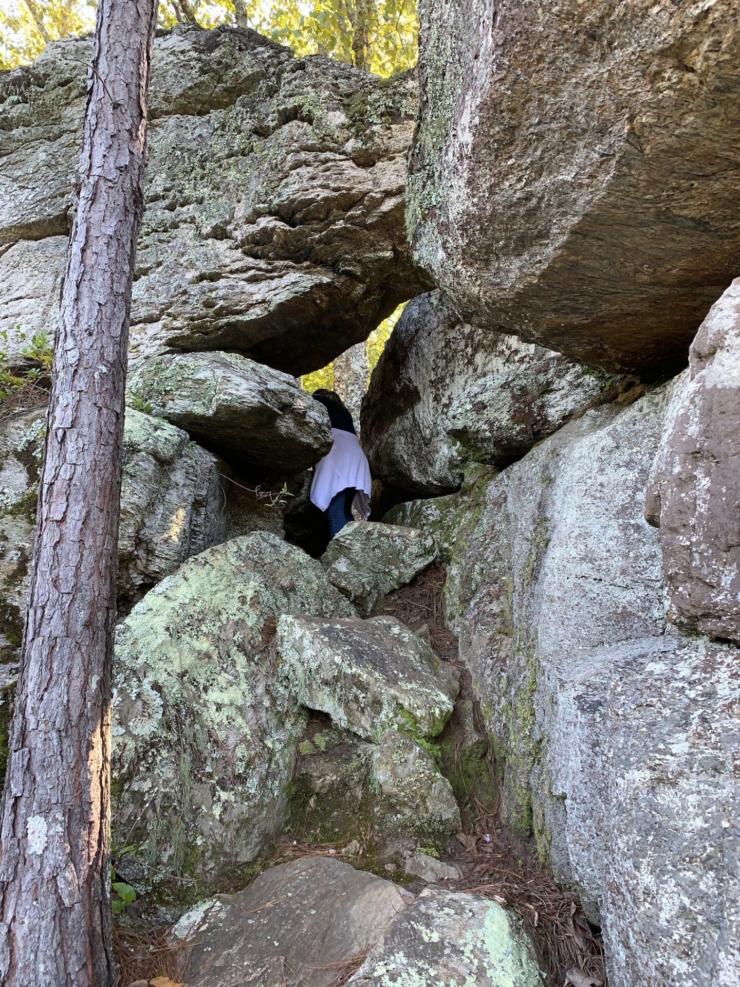
What Makes This Trail Special: This trail is known to be the most challenging of all of the CRATA trails. I would recommend this one for more experienced hikers, and note that it may not be the best one for young children, as the trail does extend over cliffs and barriers. It is well marked though, so as a more experienced hiker, I personally feel safe on it. As with all trails though, just stay on the trail. It is a 4.2 mile loop, but there is a crossover route that will take you 3.1 miles. This trail was very well designed in the fact that it also offers an emergency trail that goes to the parking lot.
While this one is the most challenging, it offers some really amazing things to see. You can see across the water and view the famous Chimney Rock from here. Jasmine Bluff is another cool rock formation to check out while you are on this trail. I personally love crawling through the Needles Eye as well. And in the spring, you are in for a special treat, as Mountain Laurel and Rhododendron are more than plentiful here. As you are making your way down the trails, you will feel as you are walking through a botanical garden with all of the blooms surrounding you.
The John B. Scott Forever Wild Trail and Cherokee Bluffs Dam Railroad Trail at Yates Lake

Location: You can enter Cherokee Bluffs Dam Railroad Trail or John B. Scott Forever Wild Trail into Waze, and it will take you right there
What Makes These Trails Special: There are two main trails here in one location, making lots of great combinations for your hike. The two separate trailheads intersect, and you can do each separately, or combine both. There are several options on the trails in this area, allowing you an opportunity to come back again and again and see new things.
The John B. Scott Forever Wild Trail is 4.7 miles long and goes along the river and several creeks. I love this trail because you can often see some unique flowers along the trail. I also really love the enormous boulders that you find about halfway through that overlook the vast forest. It is really an amazing spot to feel at one with nature, and is a great spot to stop, have a snack, and hang out for a bit.
The Cherokee Bluffs Dam Railroad Trail is a fun one for the history buffs, as it follows an old railroad bed that was built in the early 1920’s and used in the construction of Martin Dam. You can take the Highline or Lowline railroad paths, and from here you can even venture to the highest point in Elmore County-Saddle Rock Mountain. This one is really neat because you can actually see remnants of the old railroad. Sometimes you may even stumble upon small piles of coal that were once used to fire up the steam locomotives.
One thing to note about this area is that it is a part of the 6000 acre wildlife management area that is owned by the State of Alabama Forever Wild land preservation program. At certain times of the year, this area is open to hunting. Stay on the trails, wear bright clothing, and check here for information on dates when hunting is taking place.
How to Read Trail Markings for the CRATA Trails
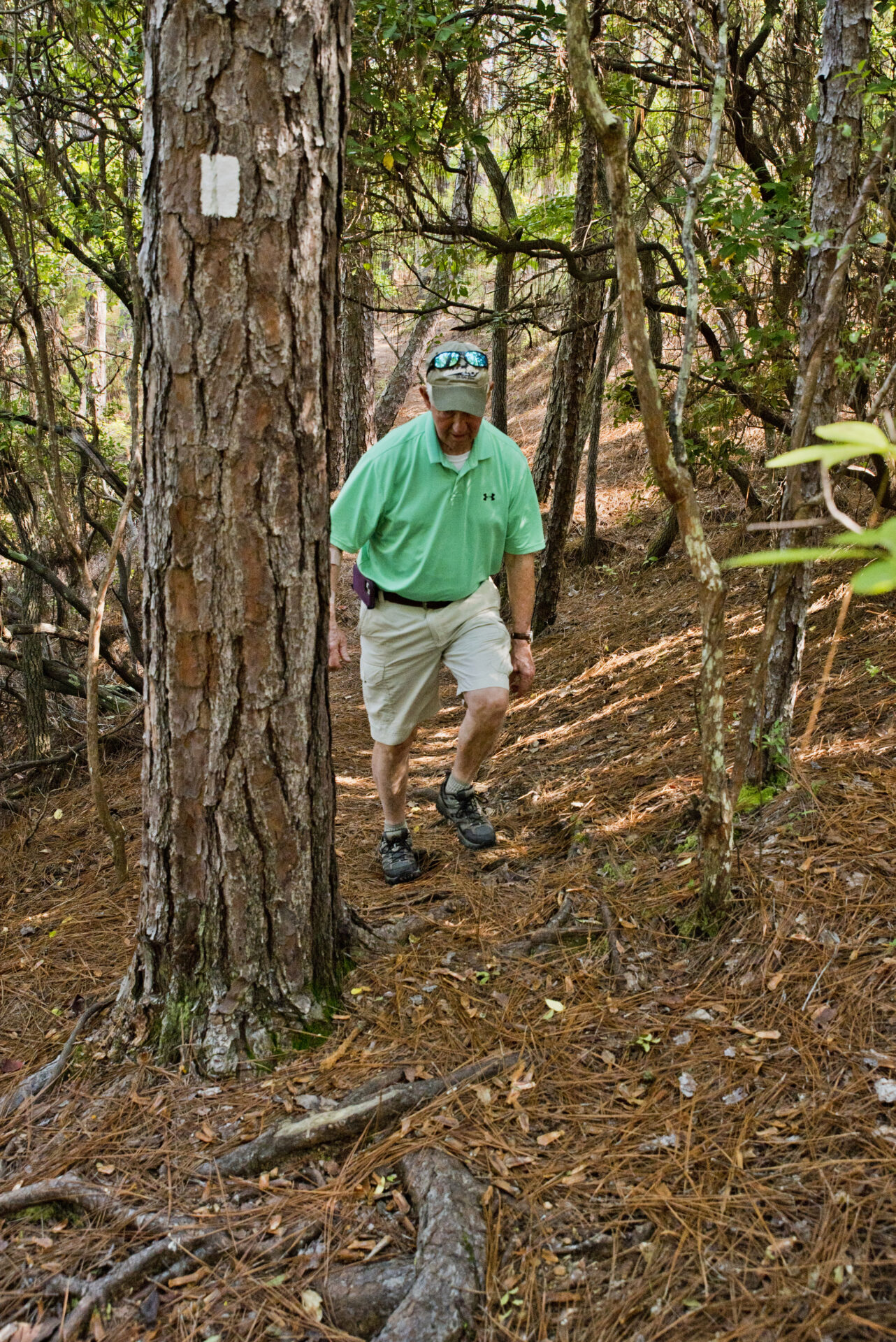
One great thing about all of the CRATA trails is that they are well blazed. While you will encounter many twists and turns designed by the most creative of trailbuilders, you can rest assured that it is pretty hard to lose your way on a CRATA trail because they have the trails so well marked. They use a blazing system similar to what is used on the Appalachian Trail. You can find rectangular paint blazes on trees that identify the correct trail paths. When you see a double blaze, that indicates either a trail intersection, or a sharp change in direction. All of the blazes are at marked at eye level, and they are plentiful. Many of the trails also have multiple directional signs, making it hard to ever lose your way.
5 Tips For Hiking the CRATA Trails
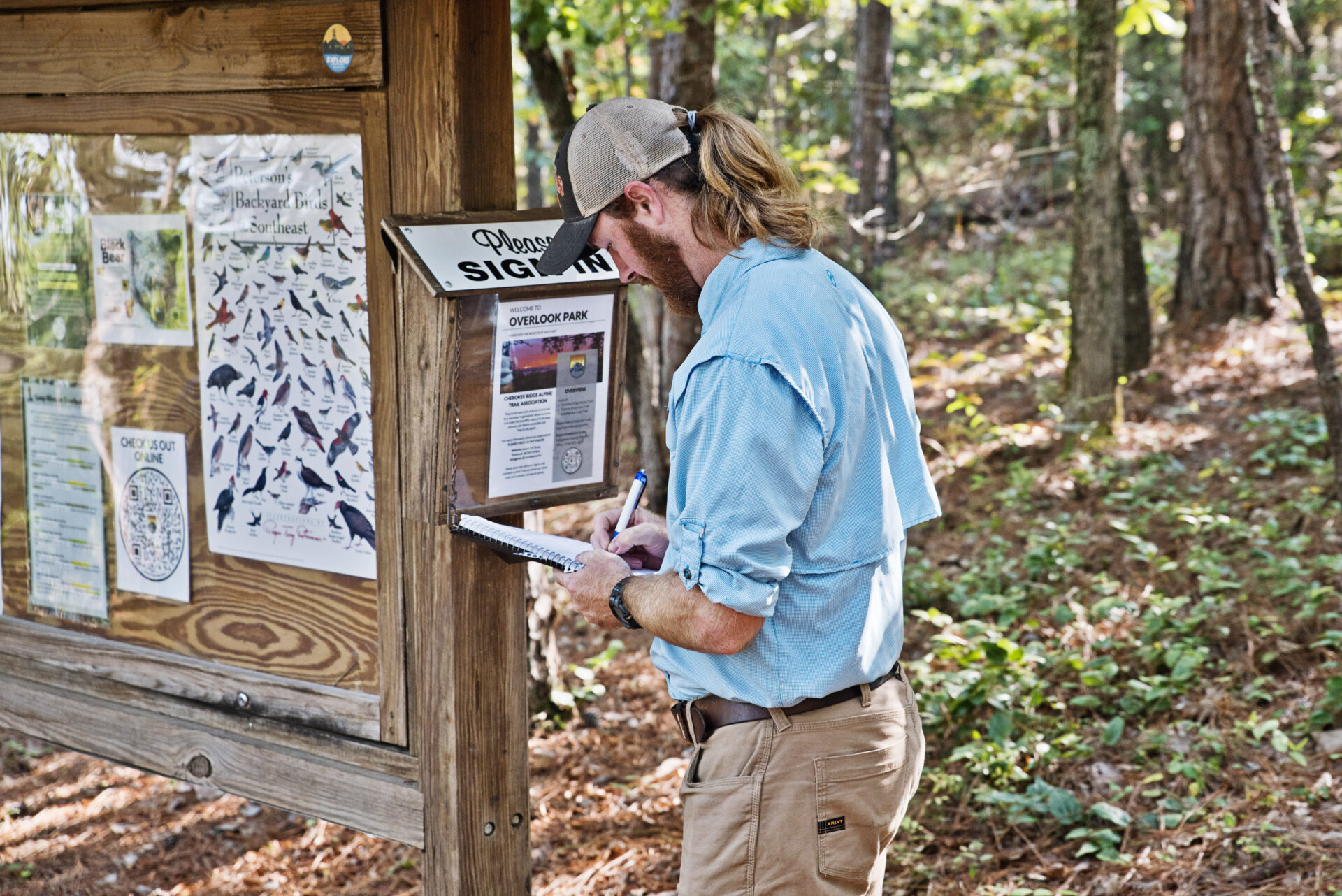
- Sign in at the trailhead.
- Check out the trail maps on their website.
- Follow the trail markings.
- Leave no trash behind.
- Don’t rush through the trails. Enjoy every second of your hike and take it all in!
HAPPY TRAILS!

